


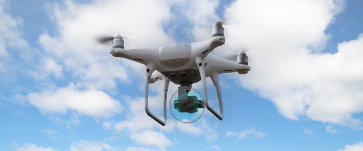
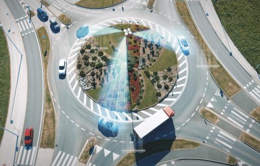
Drone
As the infrastructure for the low-altitude economy gradually improves, the core of the low-altitude economy is expanding towards industry applications. Time Vision Technology provides strong technical support for the application of drones in scenarios such as logistics, transportation, emergency response, agriculture, and surveying. The chips and modules effectively balance precision and response speed, while the built-in intelligent filtering algorithm endows the equipped terminals with excellent anti-interference performance. The low-power architecture and efficient power management technology ensure the energy efficiency and stability of task execution.
-
01
The Balance Between Precision and Response Speed
Through advanced algorithms and high-speed data processing capabilities, it can provide instant position feedback while maintaining extremely high positioning precision. The equipment is capable of precise navigation and stable flight even in complex environments, ensuring efficiency and accuracy in task execution.


-
02
Energy Efficiency Optimization
Considering the strict requirements for drone endurance, a low-power architecture and efficient power management technology are adopted. The equipment does not require frequent charging, enhancing the overall system stability. Through energy consumption optimization, drones can perform longer tasks on a single charge, improving operational flexibility and efficiency.
-
03
Anti-Interference Capability
Resist the effects of electromagnetic interference (EMI), sunlight, and other strong light sources to ensure the stability and reliability of signals. The built-in intelligent filtering algorithm can further reduce the interference of external factors on measurement results, ensuring that the drone can still operate stably in complex electromagnetic environments or under intense lighting conditions.
-
04
Precise Long-Distance Measurement
Supports safe navigation, obstacle avoidance, and precise hovering, ensuring flight stability and operational accuracy, especially in complex environments. ChuanZhou's solution can provide real-time high-precision distance data, assisting drones in achieving automatic altitude hold and terrain following functions, significantly expanding the application scope and efficiency of drones in fields such as surveying and inspection.
Related products
-
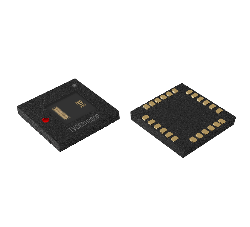 TVOERH080POptical Encoder iCs
TVOERH080P is a compact, lens-free reflective encoder chip that integrates an infrared LED, making it smaller in size
Learn More


-
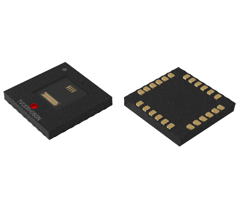 TVOERH080NLinear Encoders
The TVOERH080N is a reflective, lensless encoder chip featuring a built-in infrared LED, which allows for a more compact and smaller design
Learn More
-
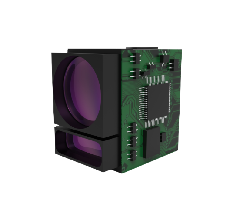 TVPSTSH02XLaser Rangefinder modules
TVPSTSH02X is a single-point ranging module based on Direct Time of Flight (dToF) technology
Learn More